


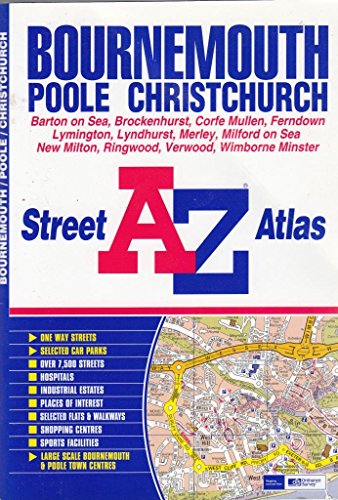
A-Z Bournemouth Street Atlas by Geographers' A-Z Map Company
This atlas contains 70 pages of coloured street mapping extending from central Bournemouth, Poole, Christchurch and Lymington to West Moors, Ashley Heath, Ringwood, Hangersley Hill, Ferndown, Hurn, Jumpers Common, Burton, Bransgore, Wootton, Sway, Boldre, Keyhaven, Milford on Sea, Highcliffe, Sandbanks, Hamworthy, Wimborne Minster, Colehill and Stapehill. Also covered are Verwood, Lyndhurst and Brockenhurst together with an inset map of Three Legged Cross. Large scale town centre plans of Bournemouth and Poole are also featured. The index section lists streets and selected flats and walkways.| SKU | Unavailable |
| ISBN 13 | 9781843480594 |
| ISBN 10 | 184348059X |
| Title | A-Z Bournemouth Street Atlas |
| Author | Geographers' A-Z Map Company |
| Series | Street Maps And Atlases S |
| Condition | Unavailable |
| Binding Type | Paperback |
| Publisher | HarperCollins Publishers |
| Year published | 2003-01-01 |
| Number of pages | 96 |
| Cover note | Book picture is for illustrative purposes only, actual binding, cover or edition may vary. |
| Note | Unavailable |