


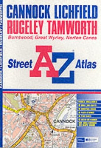
A-Z Cannock Street Atlas by Unknown Author
This atlas of Cannock, Lichfield, Rugeley and Tamworth contains 28 pages of coloured street mapping. The Cannock coverage extends to Dogingtree Estate, Pye Green, Hazelslade, Boney Hay, Chorley, Woodhouses, Muckley Corner, Brownhills Common, Great Wyrley, Longford and Oldfallow. Lichfield coverage is featured on pages 22-23 and Rugeley on pages 4-5. The Tamworth coverage extends to Coton, Borough Park, Alvecote, Birchmoor, Hockley, Drayton Bassett and Mile Oak. The 9 page index section of the atlas lists streets, selected flats, walkways and subsidiary names, place and area names, and selected places of interest.| SKU | Unavailable |
| ISBN 13 | 9780850399165 |
| ISBN 10 | 0850399165 |
| Title | A-Z Cannock Street Atlas |
| Author | Unknown Author |
| Series | Street Maps And Atlases S |
| Condition | Unavailable |
| Binding Type | Paperback |
| Publisher | HarperCollins Publishers |
| Year published | 2002-05-06 |
| Number of pages | 40 |
| Cover note | Book picture is for illustrative purposes only, actual binding, cover or edition may vary. |
| Note | Unavailable |