

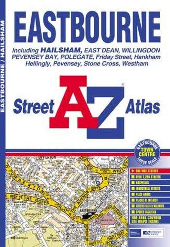
A-Z Eastbourne Street Atlas by Geographers' A-Z Map Company
This atlas of Eastbourne and Hailsham contains 22 pages of coloured street mapping with coverage extending to Hellingly, Magham Down, Stone Cross, Pevensey, Norman's Bay, Pevensey Bay, Sovereign Harbour, Roselands, Beachy Head, Old Town, Willingdon and Polegate. There is an inset map covering Friston and East Dean. Also included is a large scale map of Eastbourne Town Centre. The 9 page index section lists streets, selected flats, walkways and places of interest, place and area names, hospitals and hospices covered by this atlas.| SKU | Unavailable |
| ISBN 13 | 9781843480341 |
| ISBN 10 | 1843480344 |
| Title | A-Z Eastbourne Street Atlas |
| Author | Geographers' A-Z Map Company |
| Series | Street Maps And Atlases S |
| Condition | Unavailable |
| Binding Type | Paperback |
| Publisher | HarperCollins Publishers |
| Year published | 2002-11-15 |
| Number of pages | 32 |
| Cover note | Book picture is for illustrative purposes only, actual binding, cover or edition may vary. |
| Note | Unavailable |