


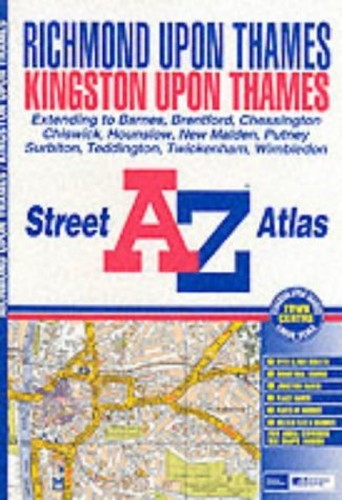
A-Z Richmond and Kingston Atlas by Geographers' A-Z Map Company
This atlas of Richmond and Kingston-upon-Thames features 27 pages of coloured street mapping extending to Brentford, Chiswick, Hammersmith, Fulham, Putney, Wimbledon, Morden South Station, Tolworth, Epsom Common, Ashtead, Claygate, Walton-on-Thames (part), Hampton, Feltham Station and Hounslow (part). There is also a large scale Kingston-upon-Thames town centre map. The index section lists streets, named junctions, place and area names, hospitals, hospices and selected flats, walkways and places of interest featured in this atlas.| SKU | Unavailable |
| ISBN 13 | 9781843480099 |
| ISBN 10 | 1843480093 |
| Title | A-Z Richmond and Kingston Atlas |
| Author | Geographers' A-Z Map Company |
| Condition | Unavailable |
| Binding Type | Paperback |
| Publisher | HarperCollins Publishers |
| Year published | 2002-09-02 |
| Number of pages | 56 |
| Cover note | Book picture is for illustrative purposes only, actual binding, cover or edition may vary. |
| Note | Unavailable |