

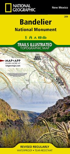
Bandelier National Monument Map by Nat Geo Maps
• Waterproof • Tear-Resistant • Topographic MapLet National Geographic's Trails Illustrated map of Bandelier National Monument guide you on your exploration of this rugged but beautiful landscape of great archeological and historical significance. Created in cooperation with the National Park Service, U.S. Forest Service and others, this expertly researched map is a comprehensive guide to the area for all outdoor enthusiasts, novice and experienced alike. The map includes an abundance of recreation, archeological, geological and historical information along with park regulations, safety tips and essential contact information. Coverage includes the entire national monument, along with Bandelier and Dome Wilderness areas, White Rock Canyon and parts of Santa Fe National Forest and Jemez Mountain Trail Byway. A trail guide lists selected trails leaving the visitor center, with trail descriptions, distances and estimated hiking time. An inset map of the visitor center area provides extra detail of the roads and trails in the area. Alternatively, follow along the road network, including number Forest Service roads, to trailheads in other areas of the monument. To aid in your exploration, the map show contour lines, elevations, labeled peaks and summits, water features, trail distances, selected waypoints and color-coded boundaries between different land management agencies. Other recreation features and amenities pinpointed include camping and picnic areas, restrooms, RV dump stations, parking areas and archeological sites.Every Trails Illustrated map is printed on 'Backcountry Tough' waterproof, tear-resistant paper. A full UTM grid is printed on the map to aid with GPS navigation.Other features found on this map include: Bandelier National Monument, Santa Fe National Forest.National Geographic Maps was founded in 1915 as the Cartographic Group, the National Geographic Society's original branch, with the purpose of depicting the world around us through the art and science of mapmaking. Today, National Geographic Maps continues this mission by producing the best wall maps, recreation maps, atlases, and globes that inspire people to care about and explore the world around them. The Society's non-profit objective is to expand global awareness and encourage conservation of our planet through exploration, research, and education, and all proceeds from the sale of National Geographic maps support that mission.
| SKU | Unavailable |
| ISBN 13 | 9781566954938 |
| ISBN 10 | 1566954932 |
| Title | Bandelier National Monument Map |
| Author | Nat Geo Maps |
| Condition | Unavailable |
| Publisher | National Geographic Maps |
| Year published | 2012-08-02 |
| Number of pages | 1 |
| Cover note | Book picture is for illustrative purposes only, actual binding, cover or edition may vary. |
| Note | Unavailable |