Benelux (B, Nl, L) Road Map 1:500 000


Benelux (B, Nl, L) Road Map 1:500 000
Regular price
Checking stock...
Regular price
Checking stock...
The feel-good place to buy books
- Free UK delivery over £5
- 10% off preloved books when you join +Plus
- Buying preloved emits 46% less CO2 than new
- Give your books a new home - sell them back to us!
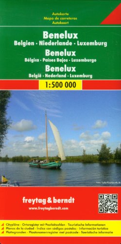
Benelux (B, Nl, L) Road Map 1:500 000 by Freytag And Berndt
This detailed road map of Benelux is very suitable for planning and traveling around the country. The road network is well represented, both the main roads, provincial and local roads. Road numbers are also clearly stated. Distances between places are marked on the map in kilometers, and gas stations are also marked in important places. Shadow shows the relief and sometimes some points with the actual height. Province borders, national parks and reserves are easy to find. Symbols indicate the location of tourist sites, monuments, historically important places and viewpoints. In certain places you can find hotels and campsites, airports, train connections and ports.| SKU | Unavailable |
| ISBN 13 | 9783850842808 |
| ISBN 10 | 3850842800 |
| Title | Benelux (B, Nl, L) Road Map 1:500 000 |
| Author | Freytag And Berndt |
| Condition | Unavailable |
| Publisher | Freytag-Berndt |
| Year published | 2015-08-01 |
| Number of pages | 1 |
| Cover note | Book picture is for illustrative purposes only, actual binding, cover or edition may vary. |
| Note | Unavailable |