


Road Map Spain and Portugal by
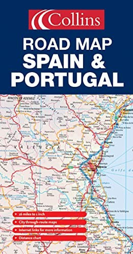
New edition featuring Collins Road Atlas Europe road mapping with distance chart, city through route maps and place-name index. Scale 1:1 000 000; 1cm to 10 kms; 1 inch to 16 miles MAIN FEATURES Fully classified road network shown clearly against a background of attractive hill-shading. Map detail includes road and motorway numbers, numbered motorway junctions, road distances and ferry routes. INCLUDES Through route maps of Madrid, Barcelona, Seville, Valencia and Lisbon. Distance chart, information factfile, internet links and comprehensive index to place names. AREA OF COVERAGE All of mainland Spain and Portugal from the Pyrenees in the north to Gibraltar in the south and including Andorra and the Balearic Islands. TARGET MARKET Tourist, motorist, anyone planning a trip in Spain or Portugal, plus home and business reference. OTHER PRODUCTS IN THE SERIES France Italy| SKU | Unavailable |
| ISBN 13 | |
| ISBN 10 | |
| Title | Road Map Spain and Portugal |
| Series | |
| Condition | Unavailable |
| Binding Type | |
| Publisher | |
| Year published | |
| Number of pages | |
| Cover note | Book picture is for illustrative purposes only, actual binding, cover or edition may vary. |
| Note | Unavailable |
View All Editions
Filter
Applied Filters (0)
Sort by:
Loading editions...