

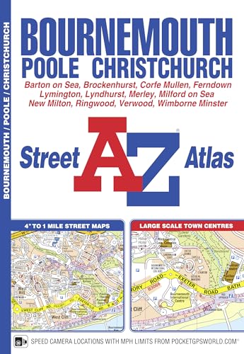
Bournemouth Street Atlas by Geographers' A-Z Map Company
This A-Z map of Bournemouth is a full colour street atlas featuring 63 pages of continuous street mapping to include: Poole Christchurch Blashford Ringwood Wimborne Minster Ferndown Bournemouth Airport Barton on Sea Milford on Sea LymingtonBritain’s leading street map publisher providing cartographic services, digital data products and paper mapping publications (including Street Atlases, Visitors Guides, Great Britain Road Atlases and The Adventure Atlas).
| SKU | Unavailable |
| ISBN 13 | 9781843488859 |
| ISBN 10 | 184348885X |
| Title | Bournemouth Street Atlas |
| Author | Geographers' A-Z Map Company |
| Series | A-Z Street Atlas |
| Condition | Unavailable |
| Binding Type | Paperback |
| Publisher | HarperCollins Publishers |
| Year published | 2016-08-01 |
| Number of pages | 108 |
| Cover note | Book picture is for illustrative purposes only, actual binding, cover or edition may vary. |
| Note | Unavailable |