Collins Primary Atlas
Regular price
Checking stock...
Regular price
Checking stock...
The feel-good place to buy books
- Free delivery in the UK
- Supporting authors with AuthorSHARE
- 100% recyclable packaging
- Proud to be a B Corp – A Business for good
- Buy-back with World of Books - Sell Your Books

Collins Primary Atlas by Collins Maps
The must-have atlas for children aged 7-11 Collins Primary Atlas is a great introduction to mapping of the UK, Europe and all major regions of the world. It supports the Key Stage 2 curriculum and is suitable for children aged 7-11 years. This new, fully up-to-date edition includes information on map reading skills, the meaning of scale and measuring distances, and is ideal for classroom use or home learning. Reference maps: • Informative, politically coloured and easy-to-read • National capitals and major cities are clearly labelled • Maps are supported with national flags and basic national statistics Continental maps: • Linked to regional mapping • Supported by a selection of aerial and terrestrial photographs • Relief maps show layer colouring and highlight major physical features This atlas is also available in a Kindle format. The next atlas in the series is the Collins School Atlas, suitable for ages 11+ and KS3."I highly recommend picking this one up" –Our Everyday Harvest, review of previous edition
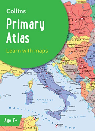
Explore the world through accurate and up-to-date mapping.
SKU | Unavailable |
ISBN 13 | 9780008485948 |
ISBN 10 | 0008485941 |
Title | Collins Primary Atlas |
Author | Collins Maps |
Series | Collins School Atlases |
Condition | Unavailable |
Binding Type | Paperback |
Publisher | HarperCollins Publishers |
Year published | 2022-03-03 |
Number of pages | 68 |
Cover note | Book picture is for illustrative purposes only, actual binding, cover or edition may vary. |
Note | Unavailable |