


Devon by Ordnance Survey
The Touring map series is a must for anyone visiting Britain's most popular holiday destinations. These reformatted maps are simple to use and packed with essential tourist information - from the best beaches to rural pubs, designed specifically with Tourists in mind. All county boundaries are clearly marked and as well as showing motorways and main roads, the maps also pinpoint many minor roads, cycle routes and even rural toilets. No holiday is complete without one.You might also like

The English Lakes South-Western Area
Loading...
Yorkshire Dales South & Western
Loading...

Snowdon
Loading...

Holy Island & Bamburgh
Loading...

Yorkshire Dales Northern & Central
Loading...

Lake District & Cumbria
Loading...

Anglesey
Loading...

Snowdon
Loading...
Haslemere & Petersfield, Midhurst & Selborne
Loading...
North York Moors - Western Area
Loading...

Cornwall
Loading...
The Long Mynd & Wenlock Edge
Loading...

Wye Valley & Forest of Dean
Loading...

The Peak District
Loading...
Western Scotland & the Western Isles
Loading...
The Cheviot Hills, Jedburgh & Wooler
Loading...
North York Moors - Eastern Area
Loading...
-
 Wales
Wales
-
 Yorkshire Dales
-
 North York Moors
-
 Lake District and Cumbria
-
 North and Mid Wales/Gogledd a Chanolbarth Cymru
-
 Dorset, Somerset East, Bath Bristol
-
 London Including the M25
-
 Beds, Bucks and Herts, North West London
-
 Kent and South East London
-
 Scotland
-
 Essex and North East London
-
 Cornwall
-
 Wiltshire
-
 Greater London Including M25


Ordnance Survey is Britain's national mapping agency, responsible for the official, definitive mapping of the whole country. They produce and market a wide range of maps for educational and leisure purposes, as well as producing computer data products for government, business and administrative use.
| SKU | Unavailable |
| ISBN 13 | 9780319250303 |
| ISBN 10 | 031925030X |
| Title | Devon |
| Author | Ordnance Survey |
| Series | Touring Maps |
| Condition | Unavailable |
| Binding Type | Sheet map, folded |
| Publisher | Ordnance Survey |
| Year published | 2000-11-25 |
| Number of pages | 0 |
| Cover note | Book picture is for illustrative purposes only, actual binding, cover or edition may vary. |
| Note | Unavailable |
Customers who bought this item also bought

Beyond Possible
Loading...

Miriam's Full English
Loading...
The English Lakes South-Western Area
Loading...

Lonely Planet Fast Talk French
Loading...

Lonely Planet Thailand
Loading...

The Peak District
Loading...
Yorkshire Dales South & Western
Loading...

DK Top 10 Malta and Gozo
Loading...


Lonely Planet Pocket Budapest
Loading...
Snowdon
Loading...



Lonely Planet Epic Van Trips of Europe
Loading...

Lonely Planet Pocket Prague
Loading...

Take the Slow Road: England and Wales
Loading...

Lonely Planet's Where to Go When
Loading...

AA Big Road Atlas Britain 2026
Loading...
Holy Island & Bamburgh
Loading...


Lonely Planet Japan
Loading...

Lonely Planet Pocket Copenhagen
Loading...
Wales Pocket Map
Loading...


Lonely Planet Paris City Map
Loading...
London Visitors' Map
Loading...

DK Top 10 New York City
Loading...
New Forest
Loading...


Lonely Planet Epic Runs of the World
Loading...

DK Top 10 Barcelona
Loading...

Lonely Planet Sicily
Loading...

Lonely Planet Rome City Map
Loading...

Lonely Planet Best Road Trips Great Britain
Loading...
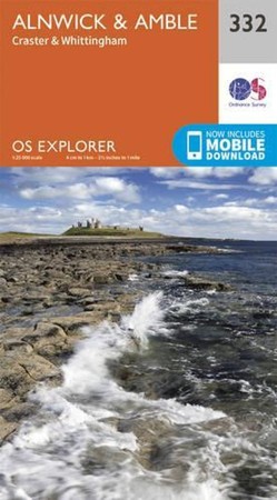
Alnwick and Amble, Craster and Whittingham
Loading...

Lonely Planet South America
Loading...
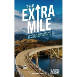
The Extra Mile Guide
Loading...
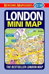
London Mini Map
Loading...


Lonely Planet Pocket New York City
Loading...

Wild Guide Wales and Marches
Loading...


Lonely Planet Sri Lanka
Loading...

DK Top 10 Porto
Loading...

Lonely Planet Flight-Free Europe
Loading...