

Great Britain & Ireland Map by Marco Polo
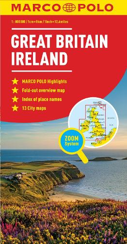
Marco Polo maps featurecompletely up-to-date, digitally generated mapping. The high qualitycartography with distance indicators and scale converters aid route planning.Contains city maps of: Liverpool, Glasgow, Edinburgh, Birmingham, Oxford,Cambridge, London and Dublin. A fold-out overview map is ideal for routeplanning and 7 self-adhesive Marco Polo mark-it stickers can be used topin-point a destination or route for future reference. Scenic routes and placesof interest are highlighted - ideal for touring holidays. Comprehensive index.The map scale is 1: 800 000.
Marco Polo Travel Publishing offers a wide range of high quality cartographic products and travel guides. Marco Polo Pocket Guides are known for their handy, compact format and Insider Tips. Our Travel Handbooks are the first to include infographics and our Spiral Guides feature unique lay-flat spiral binding. Marco Polo Maps are famous for the high quality of cartography in their Country, City and Holiday Maps.
| SKU | Unavailable |
| ISBN 13 | 9783829767224 |
| ISBN 10 | 3829767226 |
| Title | Great Britain & Ireland Map |
| Author | Marco Polo |
| Series | Marco Polo Maps |
| Condition | Unavailable |
| Binding Type | Sheet map, folded |
| Publisher | MAIRDUMONT GmbH & Co. KG |
| Year published | 2011-06-06 |
| Number of pages | 1 |
| Cover note | Book picture is for illustrative purposes only, actual binding, cover or edition may vary. |
| Note | Unavailable |