

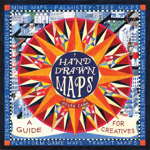
Hand-Drawn Maps by Helen Cann
Hand Drawn Maps is a fun ‘how to’ book about hand drawn cartography. It is introduced by a brief history of maps and map making, followed by five sections covering everything you need to know to make your own maps. Section 1 covers the practicalities, so by the end of it you are equipped to create your own map using compasses, neatlines, cartouche, handlettering, and your own symbols. Section 2 looks at different types of map, from picture and word maps to architectural blueprints and video game maps. Section 3 uses a wide range of examples to show the reader how to create maps of places, from early strip maps used to describe the journeys taken by 18th-century stagecoaches to dungeon and treasure maps. Section 4 covers maps of ideas. There are exercises throughout to enable the reader to build on the knowledge they have just gained. The book is completed by six stand-alone projects.
Helen Cann has illustrated over 30 books and exhibited around the world. Her work is entirely hand produced, mainly in watercolour, colour pencil, graphite and collage, but she sometimes ventures into acrylic and inks. She is the recipient of several awards, including Fall 2012 Selection, Junior Library Guild (US) and 2010 Gold Medal, Nautilus Book Awards (US).
| SKU | Unavailable |
| ISBN 13 | 9780500293157 |
| ISBN 10 | 0500293155 |
| Title | Hand-Drawn Maps |
| Author | Helen Cann |
| Condition | Unavailable |
| Binding Type | Paperback |
| Publisher | Thames & Hudson Ltd |
| Year published | 2017-06-08 |
| Number of pages | 192 |
| Cover note | Book picture is for illustrative purposes only, actual binding, cover or edition may vary. |
| Note | Unavailable |