


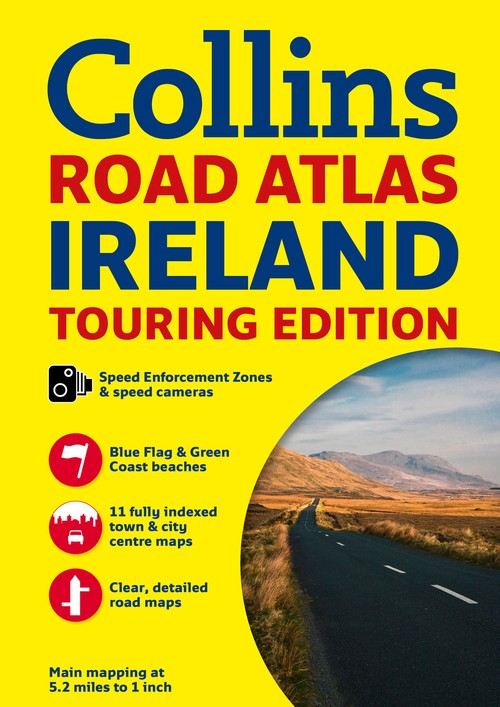
Ireland Road Atlas by Collins Maps
A wealth of tourist information, extremely clear and attractive mapping, and detailed town center plans make this an essential purchase for visitorsWith attractive road mapping of the whole of Ireland at a scale of 5.2 miles to 1 inch, these maps feature layer colors to show land height and have a wide range of places of tourist interest plotted. Thisrevised edition includes fully indexed large scale town and city center street plans of Dublin, Belfast, Cork, Limerick, Londonderry (Derry), Galway, Bangor, Waterford, Dun Laoghaire, Drogheda, and Killarney. There is also a places of interest section with descriptions and photographs. Other features include a route planning map of the whole of Ireland at 15.8 miles to 1 inch;clearly markedlocations of fixed speed cameras and speed enforcement zones; tourist information centers, complete with addresses and telephone numbers; a distance chart; and a county map. Road distances are marked in both miles and kilometers.Explore the world through accurate and up-to-date mapping.
| SKU | Unavailable |
| ISBN 13 | 9780007541294 |
| ISBN 10 | 0007541295 |
| Title | Ireland Road Atlas |
| Author | Collins Maps |
| Series | International Road Atlases Ser |
| Condition | Unavailable |
| Binding Type | Paperback |
| Publisher | HarperCollins Publishers |
| Year published | 2014-03-13 |
| Number of pages | 64 |
| Cover note | Book picture is for illustrative purposes only, actual binding, cover or edition may vary. |
| Note | Unavailable |