


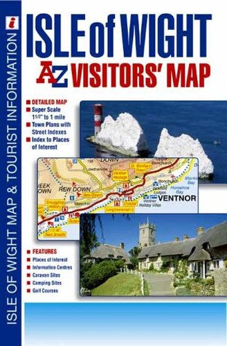
Isle of Wight Visitors' Map by Geographers' A-Z Map Company
This full colour foldout visitors' map of the Isle of Wight has large scale road mapping on which places of interest are highlighted. Street mapping of Freshwater and Totland, Newport, Cowes, Ryde, Sandown, Shanklin and Ventnor is also included and each of these town plans has its own text relating to the general history of the area, together with listings of places of interest, sport and leisure facilities and entertainment venues. There is a panel featuring street indexes for all the town plans, which also includes a separate index to the towns, villages, hamlets and locations shown on the road map. An 'Index to Places of Interest' lists tourist sites under separate headings which range from 'Abbey' to 'Zoo' and includes informative text and telephone numbers where appropriate. Information is also included on the island's ferry services.| SKU | Unavailable |
| ISBN 13 | 9780850399813 |
| ISBN 10 | 0850399815 |
| Title | Isle of Wight Visitors' Map |
| Author | Geographers' A-Z Map Company |
| Condition | Unavailable |
| Binding Type | Sheet map, folded |
| Publisher | HarperCollins Publishers |
| Year published | 2002-07-10 |
| Cover note | Book picture is for illustrative purposes only, actual binding, cover or edition may vary. |
| Note | Unavailable |