

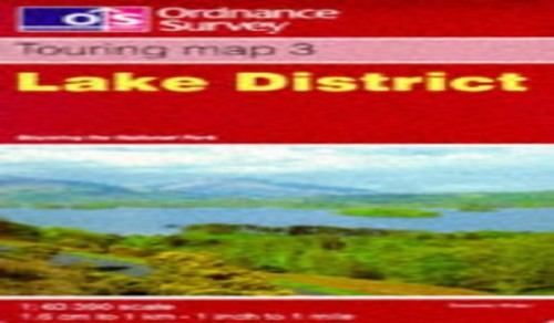
Lake District by Ordnance Survey
The Touring map series is a must for anyone visiting Britain's most popular holiday destinations. These reformatted maps are simple to use and packed with essential tourist information - from the best beaches to rural pubs, designed specifically with Tourists in mind. All county boundaries are clearly marked and as well as showing motorways and main roads, the maps also pinpoint many minor roads, cycle routes and even rural toilets. No holiday is complete without one.
Ordnance Survey is Britain's national mapping agency, responsible for the official, definitive mapping of the whole country. They produce and market a wide range of maps for educational and leisure purposes, as well as producing computer data products for government, business and administrative use.
| SKU | Unavailable |
| ISBN 13 | 9780319250259 |
| ISBN 10 | 0319250253 |
| Title | Lake District |
| Author | Ordnance Survey |
| Series | Touring Maps And Guides |
| Condition | Unavailable |
| Binding Type | Sheet map, folded |
| Publisher | Ordnance Survey |
| Year published | 1998-07-01 |
| Cover note | Book picture is for illustrative purposes only, actual binding, cover or edition may vary. |
| Note | Unavailable |