


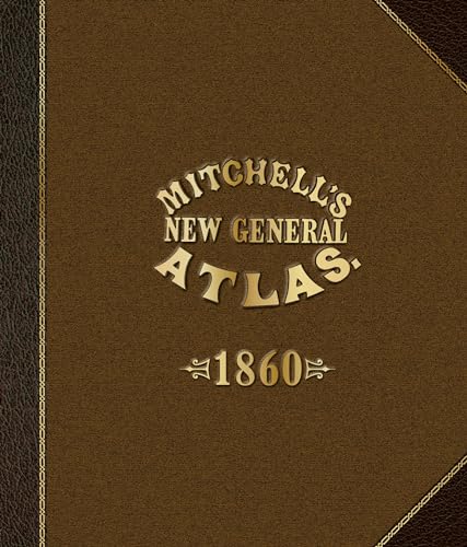
Mitchell's New General Atlas 1860 by Robert Lindberg
In 1860, Augustus Mitchell Jr. printed one of the world's most accurate and artistic atlases. This reproduction of Mitchell's New General Atlasrestores all 76 maps from the original plus its 26 pages of geological, statistical, and geographic information from 1860. Included are intriguing looks at the political boundaries of the United States at the outbreak of the Civil War, as well as maps of other countries and regions that look vastly different today. In the nineteenth century, American citizens would routinely purchase a new map or atlas every year or two, as these physical documents were the only way to learn geography. The beautiful floral-bordered maps in this atlas were designed by the finest cartographers of this pivotal era in human history. Engraved on steel plates, printed in black and white, and hand-colored by artists, they continue to inspire wonder and awe.
Lindberg, Robert: - Robert Lindberg resides in Castleton-on-Hudson, NY, with his wife, Sammy. After a career in the book printing industry, in 2013 he acquired Maps of Ancestry, a historical map business that provides thousands of maps and atlases to historians, genealogists, and map lovers.
| SKU | Unavailable |
| ISBN 13 | 9780764350320 |
| ISBN 10 | 0764350323 |
| Title | Mitchell's New General Atlas 1860 |
| Author | Robert Lindberg |
| Condition | Unavailable |
| Binding Type | Hardback |
| Publisher | Schiffer Publishing Ltd |
| Year published | 2016-02-28 |
| Number of pages | 128 |
| Cover note | Book picture is for illustrative purposes only, actual binding, cover or edition may vary. |
| Note | Unavailable |