

Navigator Road Map Hampshire by Philip's Maps
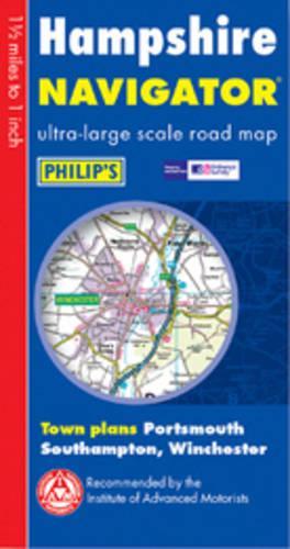
This sheet map, covering the whole of Hampshire, uses a large scale of 1 inch to 1.5 miles. It contains detailed coverage of the region's road network, including country lanes and rural lanes and tracks. Major footpaths, junctions, roundabouts and slip roads are also shown, and additional detail includes thousands of individually marked farms, houses and hamlets. Airports, airports, stations, ferries, houses, marinas and other places of interest are featured. Also included are town plans of Portsmouth, Southampton and Winchester. Designed for both professional and leisure users, it is printed on one side to allow hanging as a wall map.| SKU | Unavailable |
| ISBN 13 | 9780540084012 |
| ISBN 10 | 0540084018 |
| Title | Navigator Road Map Hampshire |
| Author | Philip's Maps |
| Condition | Unavailable |
| Binding Type | Hardback |
| Publisher | Octopus Publishing Group |
| Year published | 2003-04-28 |
| Number of pages | 2 |
| Cover note | Book picture is for illustrative purposes only, actual binding, cover or edition may vary. |
| Note | Unavailable |