


Ordnance Survey South Essex Street Atlas by Philip's Maps
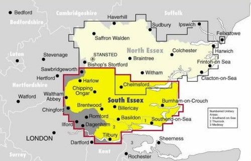
At a scale of 2.5 inches to one mile, this atlas of North Essex is suitable for business and leisure use. There is a new route-planning section, fully-updated colour-mapping, clearly marked emergency and public services, and a full index of street names and postcodes.| SKU | Unavailable |
| ISBN 13 | 9780540072972 |
| ISBN 10 | 0540072974 |
| Title | Ordnance Survey South Essex Street Atlas |
| Author | Philip's Maps |
| Condition | Unavailable |
| Binding Type | Paperback |
| Publisher | Octopus Publishing Group |
| Year published | 1999-08-30 |
| Number of pages | 224 |
| Cover note | Book picture is for illustrative purposes only, actual binding, cover or edition may vary. |
| Note | Unavailable |