Ordnance Survey Surrey Street Atlas


Ordnance Survey Surrey Street Atlas
Regular price
Checking stock...
Regular price
Checking stock...
The feel-good place to buy books
- Free UK delivery over £5
- 10% off preloved books when you join +Plus
- Buying preloved emits 46% less CO2 than new
- Give your books a new home - sell them back to us!
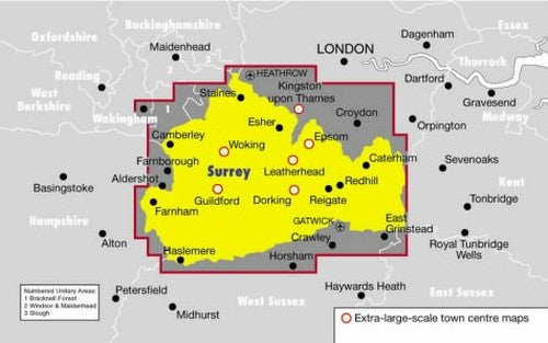
Ordnance Survey Surrey Street Atlas by Philip's Maps
This street atlas of Surrey, at a scale of 3.5 inches to 1 mile, is suited to both business and leisure use. School locations are marked and emergency and public services clearly featured. The main map shows every named road with through-routes highlighted: a route-planner is also provided.| SKU | Unavailable |
| ISBN 13 | 9780540077953 |
| ISBN 10 | 054007795X |
| Title | Ordnance Survey Surrey Street Atlas |
| Author | Philip's Maps |
| Condition | Unavailable |
| Binding Type | Spiral bound |
| Publisher | Octopus Publishing Group |
| Year published | 2000-01-05 |
| Number of pages | 304 |
| Cover note | Book picture is for illustrative purposes only, actual binding, cover or edition may vary. |
| Note | Unavailable |