

Peters Atlas by H F Ullmann
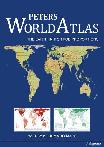
The function of an atlas is to represent segments of a sphere in two dimensions; Peters World Atlas does this in an uncommon way. Arno Peters' method is based on surface area and depicts all the countries and continents on Earth in the same proportion to each other that they actually have on the globe. The 43 magnificent main maps are arranged by continent and all use the same scale, thus giving each of the countries and continents equal representation. The meticulously shaded and coloured topographic maps are from the renowned firm Huber Kartographie in Munich, which enjoys an international reputation in the field of demanding cartography. The main collection of maps is complemented by 212 thematic world maps showing the state of the nations with regard to relevant topics such as the environment, nutrition, demography, energy economics, culture, and much more - a concentration of information that has yet to be matched.| SKU | Unavailable |
| ISBN 13 | 9783833155604 |
| ISBN 10 | 3833155604 |
| Title | Peters Atlas |
| Author | H F Ullmann |
| Condition | Unavailable |
| Binding Type | Hardback |
| Publisher | Ullmann Publishing |
| Year published | 2010-06-29 |
| Number of pages | 232 |
| Cover note | Book picture is for illustrative purposes only, actual binding, cover or edition may vary. |
| Note | Unavailable |