


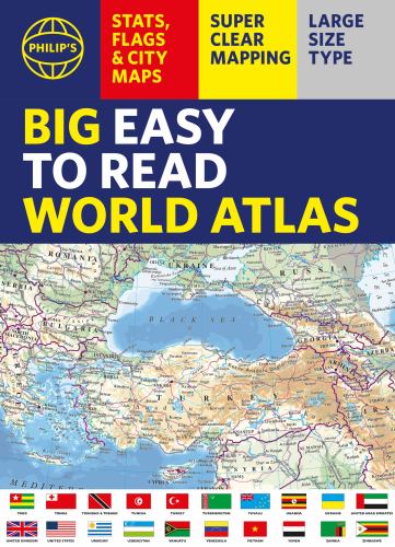
Philip's Big Easy to Read World Atlas (A3) by Philip's Maps
With detail you need at a size you can read, this extra large, quick-reference, great value World Atlas contains thousands of global facts at your fingertips. Both physical and political geography are easy to read and clearly illustrated along with details about the great cities of our time.
The highest peak? The deepest ocean trench? The wettest, driest, longest, largest - we list the world's fascinating extremes. Large and clear but crammed with practical information like World Time Zones, 200 State Flags and the top 100 most populous countries, we include around 15,000 places indexed for easy checking. Whether for the pub quiz, travel planning or school reference, this great value, large format world atlas is crammed with everything you need to know.
Features include:
* Easy to read mapping in LARGE type
* 200 Flags of the world's major states and territories
* 60 City centre maps: transport (road, rail, trams, light railways, bus and railway stations) and places of interest including religious buildings (churches, abbeys, cathedrals, synagogues, shrines, temples, mosques), museums, galleries, theatres, palaces, castles, parks, gardens, zoos, shopping centres, hospitals, Tourist Centres.
* World time zones map
* Country comparisons table - the population and areas of the world's top 100 most populous countries
* Physical comparisons- largest oceans, longest rivers, biggest islands, highest peaks, deepest trenches.
* Climate and weather records - the coldest place, hottest place, wettest place, driest place
* World topographic maps - with coloured contour layers and hill-shading clearly outlining the Earth's surface.
* World political maps - the latest boundary and geopolitical changes.
* LARGE TYPE Index of approx. 15,000 place-names - with geographical features like mountains, lakes and deserts, as well as towns.
You might also like
-
 Collins World Atlas: Complete Edition
-
 Philip's RGS World Atlas
-
 Paleontology
-
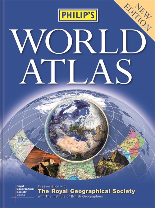 Philip's World Atlas
-
 Guinness World Records 2026
-
 Will Holding in a Fart Make You Explode?
-
 This Way Up
-
 Brilliant Maps
-
 Guinness World Records 2025
-
 She Believed She Could So She Did
-
 Golf It's a Funny Old Game
-
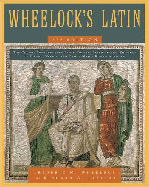 Wheelock's Latin, 7th Edition
-
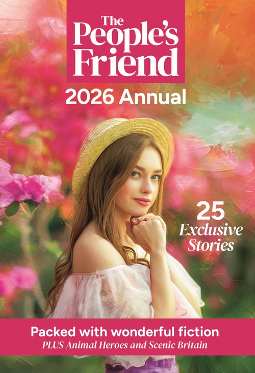 The People's Friend Annual 2026
-
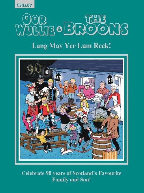 Oor Wullie & The Broons Gift Book 2026
-
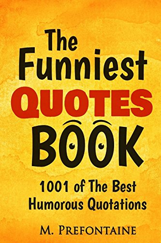 The Funniest Quotes Book
-
 The Ultimate Sports Trivia Book
-
 Born in 1956: UK and World news from every week of 1956. Plus how times have changed from the 1950s to the 21st century.
-
 1945 The Year You Were Born: UK and World News From Every Day Of The Year. A Birthday Gift Book For Men And Women
-
 Pears' Cyclopaedia 2017-2018
-
 Just My Type
| SKU | Unavailable |
| ISBN 13 | 9781849077576 |
| ISBN 10 | 1849077576 |
| Title | Philip's Big Easy to Read World Atlas (A3) |
| Author | Philip's Maps |
| Series | Philip's World Atlas |
| Condition | Unavailable |
| Binding Type | Paperback |
| Publisher | Octopus Publishing Group |
| Year published | 2026-08-13 |
| Number of pages | 96 |
| Cover note | Book picture is for illustrative purposes only, actual binding, cover or edition may vary. |
| Note | Unavailable |
Customers who bought this item also bought
-
Guinness World Records 2026
-
Will Holding in a Fart Make You Explode?
-
This Way Up
-
Brilliant Maps
-
Guinness World Records 2025
-
She Believed She Could So She Did
-
Philip's RGS World Atlas
-
Golf It's a Funny Old Game
-
Wheelock's Latin, 7th Edition
-
The People's Friend Annual 2026
-
Oor Wullie & The Broons Gift Book 2026
-
The Funniest Quotes Book
-
The Ultimate Sports Trivia Book
-
Born in 1956: UK and World news from every week of 1956. Plus how times have changed from the 1950s to the 21st century.
-
1945 The Year You Were Born: UK and World News From Every Day Of The Year. A Birthday Gift Book For Men And Women
-
Pears' Cyclopaedia 2017-2018
-
Just My Type
-
 Self-Care for Every Day
-
 100 Deadly Skills
-
 Brilliant Maps in the Wild
-
 You Are Amazing
-
 New Larousse Encyclopaedia of Mythology
-
 My First 18 Years - Born in 1982
-
 Believe and Achieve
-
 Corn Snake
-
 Information is Beautiful (New Edition)
-
 Writer's Market 100th Edition
-
 Pigs Might Fly
-
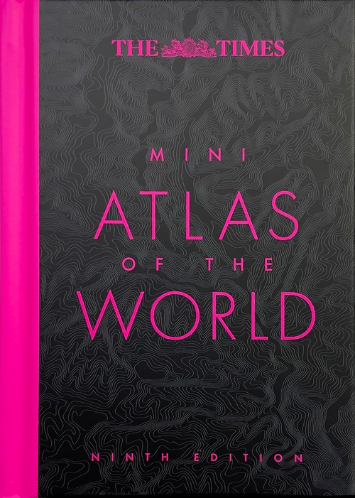 The Times Mini Atlas of the World
-
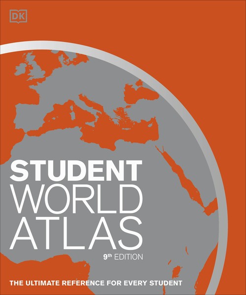 Student World Atlas
-
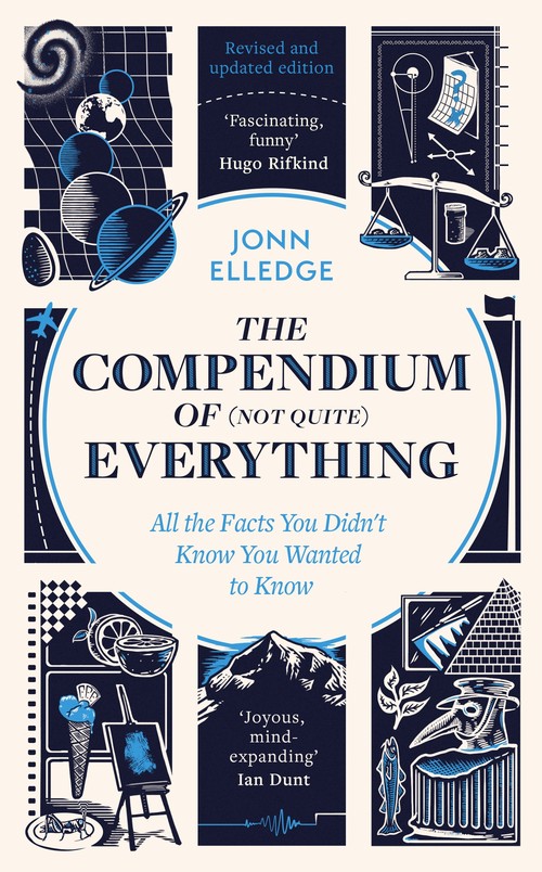 The Compendium of (Not Quite) Everything
-
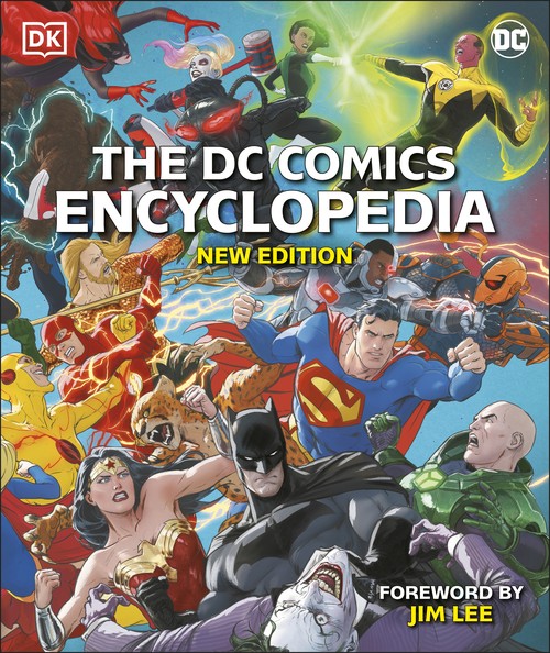 The DC Comics Encyclopedia New Edition
-
 Piso Christ
-
 Guinness World Records 2023
-
 Brilliant Maps in the Wild
-
 Easy Learning Mandarin Chinese Characters
-
 Uncommon Knowledge
-
 Compact World Atlas
-
 The Big Book of Quotes
-
 Pocket Ref
-
 Yorkshire Dales
-
 Collins World Atlas: Paperback Edition
-
 Antique Marks
-
 Malt Whisky Companion
-
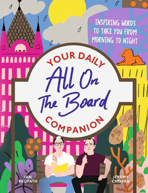 All On The Board - Your Daily Companion
-
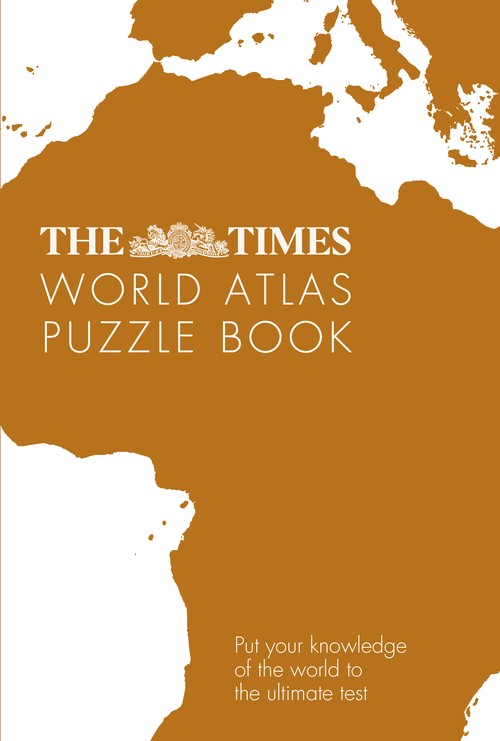 The Times World Atlas Puzzle Book
-
 Jumbled Sentences 11+ Practice
-
 Question Yourself
-
 Beano & Dandy Gift Book 2026
-
 GMAT All the Quant + DI: Effective Strategies & Practice for the new GMAT + Online Resources (Manhattan Prep GMAT Prep)