
Philip's Big Road Atlas Britain and Ireland 2015


The feel-good place to buy books
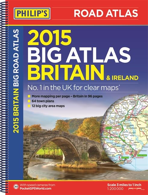
Philip's Big Road Atlas Britain and Ireland 2015 by Philip's Maps
Philip's Big Road Atlas Britain and Ireland 2015 contains 96 pages of road maps covering Britain at 3 miles to 1 inch (Scottish Highlands and Western Isles at 4 miles to 1 inch, Orkney and Shetland at 5.25 miles to 1 inch). The maps clearly mark service areas, roundabouts and multi-level junctions, and in rural areas distinguish between roads over and under 4 metres wide - a boon for drivers of wide vehicles. The atlas also includes route-planning maps, a distance table, 12 large-scale city approach maps with named arterial roads, and 64 extra-detailed and fully indexed town and city plans.| SKU | Unavailable |
| ISBN 13 | 9781849073219 |
| ISBN 10 | 184907321X |
| Title | Philip's Big Road Atlas Britain and Ireland 2015 |
| Author | Philip's Maps |
| Series | Philips Road Atlas |
| Condition | Unavailable |
| Binding Type | Paperback |
| Publisher | Octopus Publishing Group |
| Year published | 2014-07-07 |
| Number of pages | 168 |
| Cover note | Book picture is for illustrative purposes only, actual binding, cover or edition may vary. |
| Note | Unavailable |