


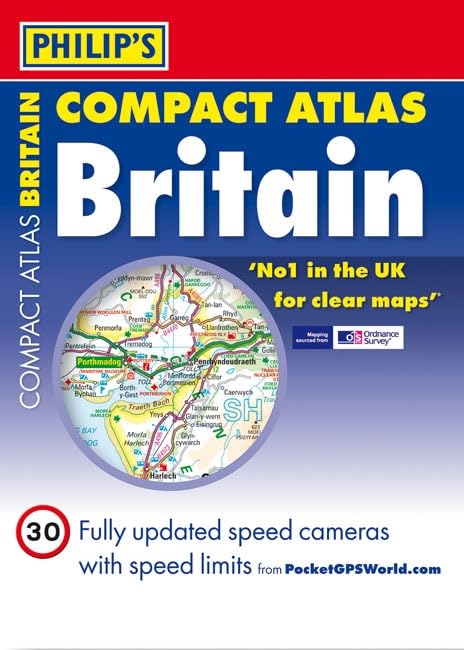
Philip's Compact Atlas Britain 2012 by Philip S
The 287 pages of main road maps in Philip's Compact Atlas Britain 2012 are at the large scale of 3.3 miles to 1 inch (Scottish Islands at 6.7 miles to 1 inch), and include speed-camera locations. The maps clearly mark service areas, roundabouts and multi-level junctions, and in rural areas distinguish between roads above and below 4 metres wide - a boon for drivers of wide vehicles.For leisure users, scenic routes are highlighted, and the maps show upland and highland areas as well as National and Forest Parks, and Areas of Outstanding Natural Beauty. Long-distance footpaths, viewpoints, beaches, golf courses, campsites and caravan sites are clearly shown.| SKU | Unavailable |
| ISBN 13 | 9781849071581 |
| ISBN 10 | 1849071586 |
| Title | Philip's Compact Atlas Britain 2012 |
| Author | Philip S |
| Condition | Unavailable |
| Binding Type | Hardback |
| Publisher | Octopus Publishing Group |
| Year published | 2011-07-04 |
| Number of pages | 352 |
| Cover note | Book picture is for illustrative purposes only, actual binding, cover or edition may vary. |
| Note | Unavailable |