


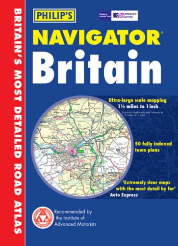
Philip's Navigator Road Atlas Britain by Philip's Maps
Features 315 pages of road mapping plus, 56 indexed town plans; the London Congestion Charge Zone; maps of Britain's major ferry ports and airports; shopping villages; canal bridge numbers; camping and caravan sites, and more. This book shows every road down to even the smallest country lane and track.
"'The reigning champion of road atlases' THE SUNDAY TIMES "The ultimate road atlas' BEST BUY, AUTO EXPRESS"
| SKU | Unavailable |
| ISBN 13 | 9780540086788 |
| ISBN 10 | 0540086789 |
| Title | Philip's Navigator Road Atlas Britain |
| Author | Philip's Maps |
| Series | Philip's Road Atlases And Maps |
| Condition | Unavailable |
| Binding Type | Paperback |
| Publisher | Octopus Publishing Group |
| Year published | 2005-05-27 |
| Number of pages | 384 |
| Cover note | Book picture is for illustrative purposes only, actual binding, cover or edition may vary. |
| Note | Unavailable |