
Philip's Street Atlas East Yorkshire and Northern Lincolnshire


The feel-good place to buy books
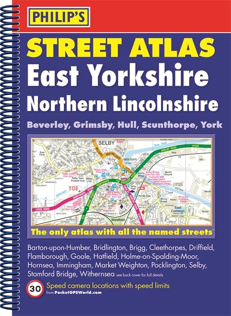
Philip's Street Atlas East Yorkshire and Northern Lincolnshire by Philip's Maps
This spiral-bound, full-colour Philip's street atlas of East Yorkshire and Northern Lincolnshire gives detailed coverage of the region. The atlas is suitable for both business and leisure use.
Philip's has been at the forefront of creating maps and atlases since 1834. Whether a local street map or a fact-packed World Atlas, we use the most up-to-date technology, expertise and our global network to ensure our customers have all the information they need.
| SKU | Unavailable |
| ISBN 13 | 9781849073899 |
| ISBN 10 | 1849073899 |
| Title | Philip's Street Atlas East Yorkshire and Northern Lincolnshire |
| Author | Philip's Maps |
| Condition | Unavailable |
| Binding Type | Paperback |
| Publisher | Octopus Publishing Group |
| Year published | 2015-08-27 |
| Number of pages | 208 |
| Cover note | Book picture is for illustrative purposes only, actual binding, cover or edition may vary. |
| Note | Unavailable |