


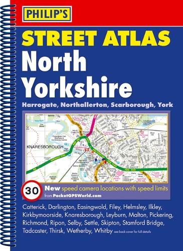
Philip's Street Atlas North Yorkshire by Philip's Maps
A street atlas of North Yorkshire. It shows all the A and B roads, and can be used when driving to get close to the destination before turning to the relevant large-scale street map.| SKU | Unavailable |
| ISBN 13 | 9781849070027 |
| ISBN 10 | 1849070024 |
| Title | Philip's Street Atlas North Yorkshire |
| Author | Philip's Maps |
| Series | Philip's Street Atlas |
| Condition | Unavailable |
| Binding Type | Paperback |
| Publisher | Octopus Publishing Group |
| Year published | 2009-07-06 |
| Number of pages | 288 |
| Cover note | Book picture is for illustrative purposes only, actual binding, cover or edition may vary. |
| Note | Unavailable |