
Railway + Ferries Europe, Railway Map Railway & Ferry Map 1:5 500 000


The feel-good place to buy books
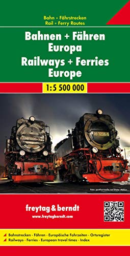
Railway + Ferries Europe, Railway Map Railway & Ferry Map 1:5 500 000 by Freytag And Berndt
Discover Europe by rail with the Freytag & Berndt Railway Map of Europe, your essential companion for train travel across the continent. Designed for travelers, backpackers, and train enthusiasts, this high-quality folded map provides a comprehensive overview of Europe's extensive railway network. Featuring clearly marked national and international train routes, high-speed rail lines, ferry connections, and major transit hubs, it's perfect for planning scenic rail journeys or interrailing adventures. Crafted by Freytag & Berndt, renowned for detailed and reliable cartography, this map offers exceptional readability with color-coded lines, multilingual legends, and user-friendly folding. Whether you're organizing a Eurotrip, exploring Interrail/Eurail options, or simply interested in European rail infrastructure, this map delivers accuracy and convenience in one. Printed on durable paper, it's ideal for both travel and educational use. Sized for easy handling and storage, it fits neatly into backpacks and travel kits. A must-have tool for travel agents, tour operators, students, and rail fans alike. Make the most of your European adventure with the Freytag & Berndt Railway Map of Europe - the ultimate train travel planning map.| SKU | Unavailable |
| ISBN 13 | 9783707916898 |
| ISBN 10 | 3707916898 |
| Title | Railway + Ferries Europe, Railway Map Railway & Ferry Map 1:5 500 000 |
| Author | Freytag And Berndt |
| Condition | Unavailable |
| Binding Type | Sheet map, folded |
| Publisher | Freytag-Berndt |
| Year published | 2017-05-01 |
| Number of pages | 1 |
| Cover note | Book picture is for illustrative purposes only, actual binding, cover or edition may vary. |
| Note | Unavailable |