
River Thames and the Southern Waterways


The feel-good place to buy books
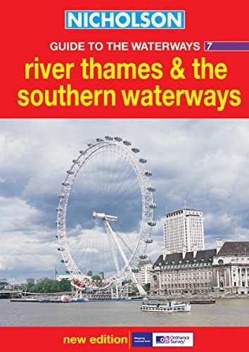
River Thames and the Southern Waterways by Ordnance Survey
Newly researched. This guide features 4-colour Ordnance Survey mapping, with facilities and towpaths clearly shown, and comprehensive navigational notes. Newly restored/opened canals and rivers are included.
The Ordnance Survey is the national mapping agency for Great Britain. Its original purpose was to provide maps of Scotland during the Jacobite Rebellion in the 18th century. Today, it is the world's leading producer of maps.
| SKU | Unavailable |
| ISBN 13 | 9780007136704 |
| ISBN 10 | 0007136706 |
| Title | River Thames and the Southern Waterways |
| Author | Ordnance Survey |
| Series | Nicholson Guide To The Waterways |
| Condition | Unavailable |
| Binding Type | Paperback |
| Publisher | HarperCollins Publishers |
| Year published | 2003-03-03 |
| Number of pages | 192 |
| Cover note | Book picture is for illustrative purposes only, actual binding, cover or edition may vary. |
| Note | Unavailable |