


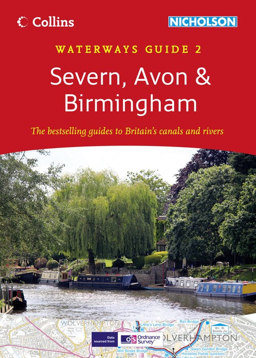
Severn, Avon & Birmingham by Collins Maps
Popular guide covering the canals and waterways around Birmingham and the River Severn. Colour Ordnance Survey® maps clearly show locks, towpaths and boating facilities. There are also comprehensive navigational notes as well as descriptions of the towns and villages, pubs and restaurants alongside the waterways.
In print for over 30 years, the Collins/Nicholson guides to the waterways have always been a vital part of journeys along Britain’s canals and rivers. They are designed for anyone and everyone with an interest in Britain’s inland waterways – from experienced boaters to those planning their first boat trip, as well as walkers, cyclists and visitors.
The Ordnance Survey ® Maps have added information showing:
• Locks, bridges, tunnels, aqueducts, winding holes and towpaths.
• Waterpoints, sanitary stations, pump out facilities and refuse disposal.
• Boatyards, pubs, restaurants and local shops.
• Mile markers and milestones (distance in miles and number of locks to strategic points along the waterways).
Text includes:
• The history and background to each canal.
• Local services and places of interest, pubs and restaurants and NEW for this edition: postcodes added for each place.
• Opportunities for walking and cycling.
• NEW for this edition: notes on wildlife to be found along the waterways.
Comprehensive navigational notes include:
• Maximum dimensions and low bridges.
• Mileages, advice and potential hazards.
• Navigation authorities and contact details.
Waterways covered in this guide – River Avon, Birmingham Canal Navigations (Main Line), Droitwich Canal, Gloucester & Sharpness Canal and the River Severn, Staffordshire & Worcestershire Canal, Stourbridge and Dudley Canals, Stratford-on-Avon Canal, Worcester & Birmingham Canal.
Taste in guide books can be a very personal thing, but few serious boaters will venture out without a Nicholson's GuideThere is a wealth of information that even the most experienced cannot hope to keep abreast of, and the guides are welcome valuable for cyclists and walkers too. The Inland Waterways Association.
Explore the world through accurate and up-to-date mapping.
| SKU | Unavailable |
| ISBN 13 | 9780007455249 |
| ISBN 10 | 0007455240 |
| Title | Severn, Avon & Birmingham |
| Author | Collins Maps |
| Series | Collins Nicholson Waterways Guides |
| Condition | Unavailable |
| Binding Type | Paperback |
| Publisher | HarperCollins Publishers |
| Year published | 2012-03-01 |
| Number of pages | 176 |
| Cover note | Book picture is for illustrative purposes only, actual binding, cover or edition may vary. |
| Note | Unavailable |