

Skye Pocket Map by Collins Maps
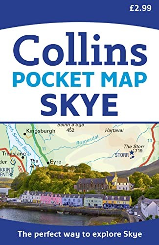
Explore new places with handy pocket maps from Collins. Handy little full colour Collins map of Skye with a high level of detail. Clear mapping of the Isle of Skye showing the road network, ferries and places of interest. Map at a scale of 1:175 000 (3 miles to 1 inch). Clear, detailed, full colour Collins road mapping is presented in a handy format ideal for the pocket or handbag. It is excellent value and covers the whole of the Isle of Skye. This map includes: • Scotland route map • Caravan and camping sites • Tourist locations • Ferry links • Listing of major places to visit, with additional details for Dunvegan Castle, Old Man of Storr and Loch Coruisk • Detailed place names indexExplore the world through accurate and up-to-date mapping.
| SKU | Unavailable |
| ISBN 13 | 9780008285647 |
| ISBN 10 | 0008285640 |
| Title | Skye Pocket Map |
| Author | Collins Maps |
| Condition | Unavailable |
| Binding Type | Sheet map, folded |
| Publisher | HarperCollins Publishers |
| Year published | 2018-03-08 |
| Number of pages | 1 |
| Cover note | Book picture is for illustrative purposes only, actual binding, cover or edition may vary. |
| Note | Unavailable |