

Using Physical Maps by Rebecca E Hirsch
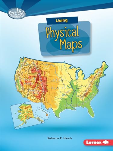
Have you ever wondered which countries have the most lakes? Or where the highest point in your state is? Physical maps show landscape features. They also often show land elevation, or how high the land is above sea level. But how do you use physical maps? And what do the different colors and symbols on these maps mean? Read on to learn all about physical maps
-- JournalRebecca E. is a writer who lives in the United States Hirsch, Ph.D., is the author of a number of children's books on science, nature, and geography. She lives in State College, Pennsylvania, with her husband and three children. You may learn more about Rebecca Hirsch at www.rebeccahirsch.com.
| SKU | Unavailable |
| ISBN 13 | 9781512412932 |
| ISBN 10 | 1512412937 |
| Title | Using Physical Maps |
| Author | Rebecca Hirsch |
| Series | Searchlight What Do You Know About Maps |
| Condition | Unavailable |
| Binding Type | Paperback |
| Publisher | Lerner Publishing Group |
| Year published | 2016-08-01 |
| Number of pages | 40 |
| Cover note | Book picture is for illustrative purposes only, actual binding, cover or edition may vary. |
| Note | Unavailable |