
2015 Collins Big Road Atlas Britain


Summary
The feel-good place to buy books
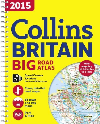
2015 Collins Big Road Atlas Britain by Collins Maps
The ultimate 3.2 miles to 1 inch scale large format spiral bound road atlas of Britain for 2015, featuring Collins’ popular and well established road mapping, and designed for exceptional clarity and ease of use. The atlas also includes a wide range of urban area maps at even larger scale and 64 detailed town centre street plans. The mapping shows speed limits at speed camera locations. This fully updated road atlas covers the whole of Britain with each scale of mapping colour-coded for ease of use. The smallest scale maps are great for long distance route planning and the street plans help you locate your final destination. The atlas includes: • Easy to use, clear road maps at a scale of 3.2 miles to 1 inch of England, Wales and Southern Scotland. Northern Scotland is shown at 5 miles to 1 inch. • Route planning section including maps at a scale of 15.8 miles to 1 inch (1:1,000,000) for long distance route planning, motorway services information and a handy distance calculator. • 22 urban area approach maps at 1 mile to 1 inch which clearly show the best routes through and into the busiest built-up areas. • 64 street maps focused on town centres showing places of interest, car park locations and one-way streets. • Fully updated fixed speed camera sites with average speed camera locations clearly highlighted. All speed cameras show the speed limit. • M25 orbital map. • Information about restricted motorway junctions. • National rail map for planning your complete journey. • Park & Ride locations shown, ideal when visiting towns and cities. • Over 30 categories of places of interest including castles, theme parks, sports venues, universities, mountain bike trails and surfing beaches. • Full postcodes for the top 1000 places of interest – ideal for use alongside sat-nav systems. Also available in paperback format (ISBN 978-0-00-755507-9).Explore the world through accurate and up-to-date mapping.
| SKU | Unavailable |
| ISBN 13 | 9780007555086 |
| ISBN 10 | 0007555083 |
| Title | 2015 Collins Big Road Atlas Britain |
| Author | Collins Maps |
| Condition | Unavailable |
| Binding Type | Spiral bound |
| Publisher | HarperCollins Publishers |
| Year published | 2014-06-19 |
| Number of pages | 176 |
| Cover note | Book picture is for illustrative purposes only, actual binding, cover or edition may vary. |
| Note | Unavailable |