2016 Collins Essential Road Atlas Britain


Summary
The feel-good place to buy books
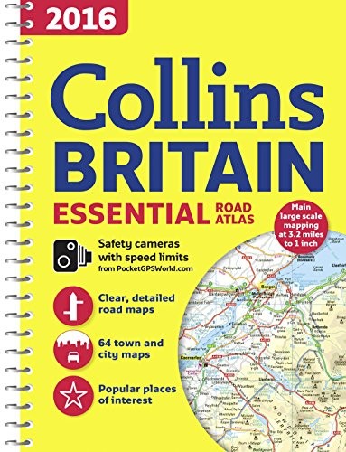
2016 Collins Essential Road Atlas Britain by Collins Maps
This A4 road atlas with popular lie-flat spiral binding features clear, detailed road mapping, at a scale of 3.2 miles to 1 inch (1:200,000) for England, Wales and Southern Scotland and at 4.2 miles to 1 inch (1:266,000) in Northern Scotland, with land height shown by attractive layer colouring.“The use of light colours in the maps and a 32mpi scale make the Collins Essential easy to read at a glance” Auto Express
Explore the world through accurate and up-to-date mapping.
| SKU | Unavailable |
| ISBN 13 | 9780008102302 |
| ISBN 10 | 0008102309 |
| Title | 2016 Collins Essential Road Atlas Britain |
| Author | Collins Maps |
| Condition | Unavailable |
| Binding Type | Paperback |
| Publisher | HarperCollins Publishers |
| Year published | 2015-06-18 |
| Number of pages | 336 |
| Cover note | Book picture is for illustrative purposes only, actual binding, cover or edition may vary. |
| Note | Unavailable |