
2022 Philip's Road Atlas Britain and Ireland


Summary
The feel-good place to buy books
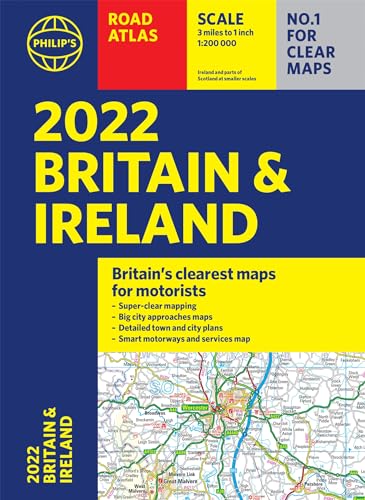
2022 Philip's Road Atlas Britain and Ireland by Philip's Maps
PHILIP'S - THE FASTEST GROWING BRAND OF UK ROAD ATLASES No. 1 in the UK for clear maps 'Good balance between detail and clarity with excellent town maps' What Car? Mapping at a scale of 3 miles to 1 inch = 1:200,000 Philip's: Britain's clearest maps for motorists Completely updated and revised for 2022 New map showing Smart Motorways - 160 pages of fully updated super-clear road maps - 10 pages of detailed route-planning maps - plan your route in advance - 88 indexed town-centre maps - 14 pages of city approach maps with named arterial roads - 2 page road map of Ireland - Map of scenic Britain and a map highlighting railways, airports and ferry ports Philip's 2022 Road Atlas Britain and Ireland is the top-of-the-range paperback road atlas featuring the latest maps from the Philip's digital database. Voted Britain's clearest and most detailed in an independent consumer survey, the mapping is super-clear. Philip's 2022 Road Atlas Britain and Ireland contains 160 pages of road maps covering Britain at 3 miles to 1 inch, with the Western Isles, Orkney and Shetland at smaller scales. The maps clearly mark service areas, roundabouts and multi-level junctions, and in rural areas distinguish between roads over and under 4 metres wide. The atlas also includes a 2-page road map of Ireland, 10 pages of route-planning maps, a distance table, 10 large-scale city approach maps with named arterial roads, and 88 extra-detailed and fully indexed town and city plans.
Philip's has been at the forefront of creating maps and atlases since 1834. Whether a local street map or a fact-packed World Atlas, we use the most up-to-date technology, expertise and our global network to ensure our customers have all the information they need.
| SKU | Unavailable |
| ISBN 13 | 9781849075671 |
| ISBN 10 | 1849075670 |
| Title | 2022 Philip's Road Atlas Britain and Ireland |
| Author | Philip's Maps |
| Series | Philip's Road Atlases |
| Condition | Unavailable |
| Binding Type | Paperback |
| Publisher | Octopus Publishing Group |
| Year published | 2021-06-10 |
| Number of pages | 256 |
| Cover note | Book picture is for illustrative purposes only, actual binding, cover or edition may vary. |
| Note | Unavailable |