

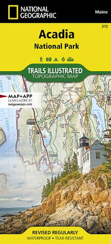
Acadia National Park by National Geographic Maps
This Trails Illustrated topographic map is the most comprehensive recreational map for Acadia National Park, located along the beautiful Atlantic coast in Maine. Updated to reflect road closings, new trails, and campground relocation; it also includes detailed trail information, points of interest, trailheads, picnic areas, facilities, and more. Features sites such as Mount Desert Island, Sestern Mountain, Norwood Ridge, Freeman Ridge, Isle au Haut, Marshall Island, Swans Island, Western Bay, Mount Desert Narrows, Frenchman Bay, Eastern Way, Echo Lake, and more.| SKU | Unavailable |
| ISBN 13 | 9781566953528 |
| ISBN 10 | 1566953529 |
| Title | Acadia National Park |
| Author | National Geographic Maps |
| Condition | Unavailable |
| Publisher | National Geographic Maps |
| Year published | 2012-08-02 |
| Number of pages | 1 |
| Cover note | Book picture is for illustrative purposes only, actual binding, cover or edition may vary. |
| Note | Unavailable |