


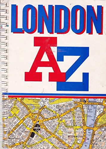
A. to Z. London Street Atlas by Geographers' A-Z Map Company
135 pages of street maps, extending to Stanmore, Barnet, Enfield, Woolwich, Croydon and Surbiton. The main section of maps is at 3 inches to 1 mile, with an 18 page large scale section covering the central area. Includes 161 pages on street index, places and areas index, hospitals, stations and West End cinema and theatre maps.| SKU | Unavailable |
| ISBN 13 | 9780850392449 |
| ISBN 10 | 0850392446 |
| Title | A. to Z. London Street Atlas |
| Author | Geographers' A-Z Map Company |
| Series | London Street Atlases |
| Condition | Unavailable |
| Binding Type | Paperback |
| Publisher | HarperCollins Publishers |
| Year published | 1990-10-01 |
| Number of pages | 292 |
| Cover note | Book picture is for illustrative purposes only, actual binding, cover or edition may vary. |
| Note | Unavailable |