
A. to Z. Luton/Dunstable Street Atlas


Summary
The feel-good place to buy books
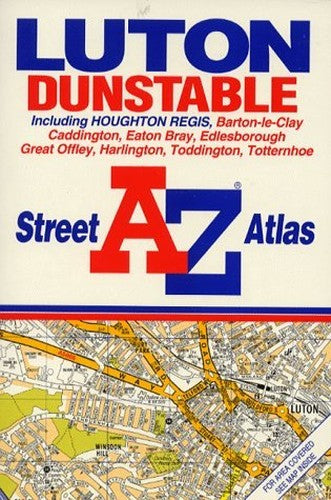
A. to Z. Luton/Dunstable Street Atlas by Geographers' A-Z Map Company
This street atlas of Luton includes coverage of Houghton Regis, Barton-le-Clay, Caddington, Eaton Bray, Edlesborough, Great Offley, Harlington, Toddington and Totternhoe. The grid squares are based on the National Grid, the value of which are shown in the margin. The scale is 31.3 inches to 1 mile (1:19,000).| SKU | Unavailable |
| ISBN 13 | 9780850392890 |
| ISBN 10 | 0850392896 |
| Title | A. to Z. Luton/Dunstable Street Atlas |
| Author | Geographers' A-Z Map Company |
| Series | A-Z Street Atlas S |
| Condition | Unavailable |
| Binding Type | Paperback |
| Publisher | HarperCollins Publishers |
| Year published | 1994-01-01 |
| Number of pages | 32 |
| Cover note | Book picture is for illustrative purposes only, actual binding, cover or edition may vary. |
| Note | Unavailable |