
A. to Z. Street Atlas of Preston


Summary
The feel-good place to buy books
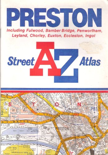
A. to Z. Street Atlas of Preston by Geographers' A-Z Map Company
This street atlas, with a scale of 3.33" to 1 mile (1:19,000), extends to Chorley, Fulwood, Bamber Bridge, Leyland, Penwortham, Euxton, Eccleston and Ingol. Major alterations include: 6D12-7K13 - the M65 Blackburn Southern By-Pass is now shown as under construction; 5G21-2H25 - the A6 Chorley town centre by-pass is now shown as open, two parts of the A6 have been downgraded to minor roads, the remainder from Commercial Road to St Thomas's Road has been renamed as part of the A581, and a minor road has been upgraded and shown as part of the A581; and 1G25-1H25 - a minor road has been upgraded and shown as part of the B5251, and an existing part of the B5251 is now shown as part of the A6 Chorley town centre by-pass.| SKU | Unavailable |
| ISBN 13 | 9780850392647 |
| ISBN 10 | 0850392640 |
| Title | A. to Z. Street Atlas of Preston |
| Author | Geographers A-Z Map Company |
| Series | A-Z Street Atlas S |
| Condition | Unavailable |
| Binding Type | Paperback |
| Publisher | HarperCollins Publishers |
| Year published | 1991-11-01 |
| Number of pages | 40 |
| Cover note | Book picture is for illustrative purposes only, actual binding, cover or edition may vary. |
| Note | Unavailable |