A-Z Bristol and Bath Street Atlas


World of Books
The feel-good place to buy books
A-Z Bristol and Bath Street Atlas by Unknown Author
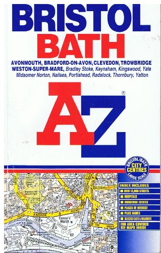
This paperback street atlas of Bristol and Bath contains 156 pages of coloured street mapping. The Bristol coverage extends to Almondsbury, Iron Acton, Chipping Sodbury, Westerleigh, Frampton Cotterell, Emerson's Green, Pucklechurch, Warmley, Oldland, Saltford, Keynsham, Whitchurch, Hartcliffe, Withywood, Bedminster, Long Ashton, Abbots Leigh, Shirehampton, Easton-in-Gordano, Portishead, Avonmouth and Junction 17 on the M5 Motorway. The Bath coverage extends to Weston, Batheaston, Bathford, Monkton Combe, Winsley, Bradford-on-Avon, Odd Down and Twerton. The Weston-super-Mare mapping extends to Kewstoke, Worle, St. Georges, Banwell, Locking, Bleadon and Uphill. Also included is separate coverage of Thornbury, Alveston, Wickwar, Severn Beach, Clevedon, Nailsea, Backwell, Yatton, Congresbury, Wrington, Winscombe, Midsomer Norton, Paulton, Timsbury, Peasedown St. John, Radstock, Trowbridge, Holt, North Bradley and Wick. There are also large scale city centre maps of Bristol and Bath, together with a road map and a postcode map of the Bristol and Bath area. The 63 page index section of the atlas lists streets, selected flats and walkways, place and area names. There are separate lists for hospitals, hospices and health centres and for selected places of interest.| SKU | Unavailable |
| ISBN 13 | 9780850399332 |
| ISBN 10 | 0850399335 |
| Title | A-Z Bristol and Bath Street Atlas |
| Author | Unknown Author |
| Condition | Unavailable |
| Binding Type | Paperback |
| Publisher | HarperCollins Publishers |
| Year published | 2002-04-10 |
| Number of pages | 224 |
| Cover note | Book picture is for illustrative purposes only, actual binding, cover or edition may vary. |
| Note | Unavailable |