
A-Z Cheltenham, Gloucester and Stroud


World of Books
The feel-good place to buy books
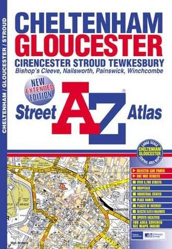
A-Z Cheltenham, Gloucester and Stroud by Geographers' A-Z Map Company
This atlas of Cheltenham, Gloucester, Stroud, Cirencester and Tewkesbury contains 52 pages of coloured street mapping. The Cheltenham and Gloucester coverage extends to Bishop's Cleeve, Southam, Prestbury, Charlton Kings, Shurdington, Prinknash Abbey, Upton St. Leonards, Haresfield, Hardwicke, Quedgeley, Hempsted, Maidenhall, Innsworth, Churchdown, Benhall and Kingsditch. There is also an inset map of Painswick. The Stroud coverage extends to Stonehouse, Puckshole, Uplands, Bisley, Chalford, Minchinhampton, Nailsworth, Horsley, Woodchester, and King's Stanley (part). There is also an inset map of Avening. The Cirencester coverage extends to Baunton, Norcote, Siddington and Chesterton and the Tewkesbury coverage extends to Minton, Northway and Priors Park. Winchcombe is featured on a single page. Also included are large scale maps of the centres of Gloucester and Cheltenham. The index section of the atlas lists streets, selected flats, walkways and places of interest, place, area and junction names, National Rail Stations, hospitals and hospices covered by this atlas.| SKU | Unavailable |
| ISBN 13 | 9781843480723 |
| ISBN 10 | 1843480727 |
| Title | A-Z Cheltenham, Gloucester and Stroud |
| Author | Geographers A-Z Map Company |
| Series | Street Maps And Atlases S |
| Condition | Unavailable |
| Binding Type | Paperback |
| Publisher | HarperCollins Publishers |
| Year published | 2003-02-11 |
| Number of pages | 48 |
| Cover note | Book picture is for illustrative purposes only, actual binding, cover or edition may vary. |
| Note | Unavailable |