
A-Z Luton and Dunstable Street Atlas


World of Books
The feel-good place to buy books
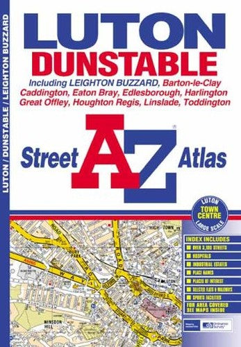
A-Z Luton and Dunstable Street Atlas by Great Britain
This atlas of Luton, Dunstable and Leighton Buzzard contains 26 pages of coloured street mapping. The Luton and Dunstable coverage extends to Toddington, Harlington, Lower Sundon, Sundon Park, Warden Hill, Lilley, Great Offley, Colemans Green, Peters Green, East Hyde, Slip End, Kensworth Common, Whipsnade Park Zoo, Edlesborough, Eaton Bray, Houghton Regis and Wingfield (part). Also included is a large scale town centre plan of Luton on page 29. The Leighton Buzzard coverage extends to Rushmere, Leedon, Page's Park and Linslade. There is also a single page coverage of Barton-le-Clay. The index section of the atlas lists streets, selected flats, walkways and subsidiary names, place and area names, hospitals and hospices, and selected places of interest.| SKU | Unavailable |
| ISBN 13 | 9780850399196 |
| ISBN 10 | 085039919X |
| Title | A-Z Luton and Dunstable Street Atlas |
| Author | Great Britain |
| Series | A-Z Street Maps And Atlases S |
| Condition | Unavailable |
| Binding Type | Paperback |
| Publisher | HarperCollins Publishers |
| Year published | 2002-03-07 |
| Number of pages | 44 |
| Cover note | Book picture is for illustrative purposes only, actual binding, cover or edition may vary. |
| Note | Unavailable |