


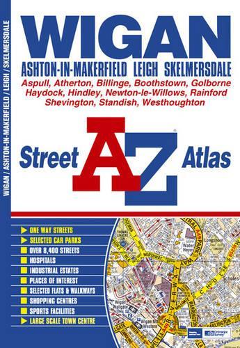
A-Z Wigan Street Atlas by Geographers' A-Z Map Company
This street atlas of Wigan, Ashton-in-Makerfield, Leigh and Skelmersdale features 60 pages of coloured mapping and extends over an area which includes Mossy Lea, Standish, Adlington (part), Scot Lane End, Westhoughton, Over Hulton, Atherton, Walkden (part), Boothstown, Irlam (part), Fowley Common, Golborne, Newton-le-Willows (part), Blackbrook, Moss Bank, Digmoor, Pennylands, Ashurst, and Shevington. Also included is an inset map of Rainford. The 25 page index section lists streets, selected flats, walkways and places of interest, hospitals and hospices covered by this atlas.| SKU | Unavailable |
| ISBN 13 | 9780850399691 |
| ISBN 10 | 0850399696 |
| Title | A-Z Wigan Street Atlas |
| Author | Geographers' A-Z Map Company |
| Condition | Unavailable |
| Binding Type | Paperback |
| Publisher | HarperCollins Publishers |
| Year published | 2002-06-01 |
| Cover note | Book picture is for illustrative purposes only, actual binding, cover or edition may vary. |
| Note | Unavailable |