

AA Easy Read Britain 2016 by Aa Publishing
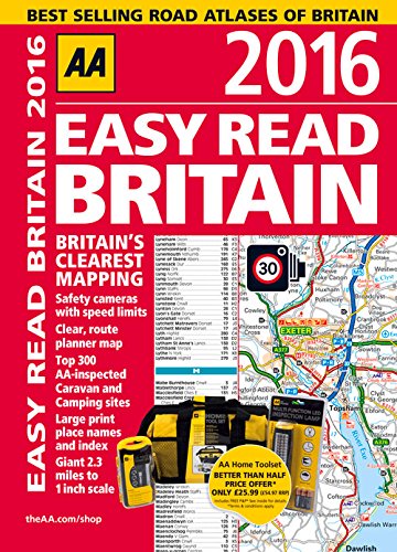
This A4 format atlas provides giant scale mapping (2.3 miles to 1 inch) and type throughout making it very easy to use. Each page has been titled with its geographical location so you can turn to the page you need more easily. Static speed camera locations with speed limits are pinpointed. Wide minor roads, National Trust, English and World Heritage sites, crematorium and other hard-to-find places are also shown. There is also a full-colour admin map showing all the latest unitary authority areas and a route planning map. Other features within the atlas include, large print names and index, Top 300 AA-inspected caravan & camping sites, over 200 service areas, fully updated mapping.
AA Publishing is the UK's largest travel publisher, with an extensive range of inspiring travel guides, dependable driving books, and trusted maps and atlases.
| SKU | Unavailable |
| ISBN 13 | 9780749576844 |
| ISBN 10 | 0749576847 |
| Title | AA Easy Read Britain 2016 |
| Author | Aa Publishing |
| Condition | Unavailable |
| Binding Type | Paperback |
| Publisher | AA Publishing |
| Year published | 2015-06-30 |
| Number of pages | 328 |
| Cover note | Book picture is for illustrative purposes only, actual binding, cover or edition may vary. |
| Note | Unavailable |