AA Glovebox Atlas Britain


AA Glovebox Atlas Britain
Regular price
Checking stock...
Regular price
Checking stock...
Summary
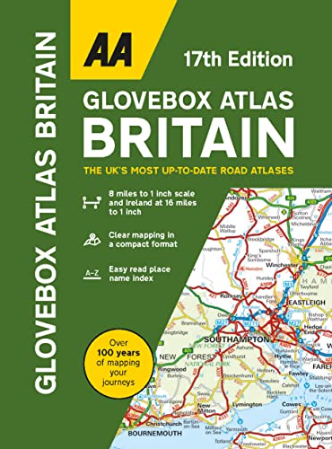
Fully updated for 2023 with up-to-date mapping from the experts at the AA. Britain's clearest mapping in a handy glovebox size at 8 miles to 1 inch scale featuring easy read place name index, distance charts of Britain and Ireland and county, administrative area maps of Britain and Ireland. Includes Ireland map at 16 miles to 1 inch
The feel-good place to buy books
- Free US shipping over $15
- Buying preloved emits 41% less CO2 than new
- Millions of affordable books
- Give your books a new home - sell them back to us!
AA Glovebox Atlas Britain by Aa Publishing
This handy atlas fits in the glovebox of your car, perfect for quick referencing on the move. The clear mapping includes a range of essential motoring and useful touring information so you can find your way and discover places to visit whilst on your travels. Including information such as road tolls, service areas, road distances, national parks, places to visit and viewpoints this is the perfect glovebox companion for travelling through Britain and Ireland.| SKU | Unavailable |
| ISBN 13 | 9780749583422 |
| ISBN 10 | 0749583428 |
| Title | AA Glovebox Atlas Britain |
| Author | Aa Publishing |
| Series | Aa Road Atlas Britain |
| Condition | Unavailable |
| Binding Type | Spiral bound |
| Publisher | AA Publishing |
| Year published | 2023-08-03 |
| Number of pages | 96 |
| Cover note | Book picture is for illustrative purposes only, actual binding, cover or edition may vary. |
| Note | Unavailable |