

AA Road Atlas Ireland by Aa Publishing
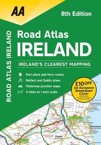
This atlas includes AA approved camping sites and AA listed golf courses, picnic sites, port plans and ferry routes. Plus, motorway strip maps detailing all of Ireland's motorway junctions. Toll motorways and motorway service areas are clearly highlighted.There are 10 detailed city and town plans with street indexes: Belfast, Cork, Londonderry, Dublin, Galway, Killarney, Kilkenny, Limerick, Sligo and Waterford and an easy-to-read 3,500 place name index, including top tourist sites. Irish language areas are shown on the main mapping.District maps of Dublin and Belfast show the surrounding area in more detail.
AA Publishing is the UK's largest travel publisher, with an extensive range of inspiring travel guides, dependable driving books, and trusted maps and atlases.
| SKU | Unavailable |
| ISBN 13 | 9780749579883 |
| ISBN 10 | 0749579889 |
| Title | AA Road Atlas Ireland |
| Author | Aa Publishing |
| Condition | Unavailable |
| Binding Type | Paperback |
| Publisher | AA Publishing |
| Year published | 2018-07-01 |
| Number of pages | 104 |
| Cover note | Book picture is for illustrative purposes only, actual binding, cover or edition may vary. |
| Note | Unavailable |