
The Aerial Atlas of the Holy Land


Summary
The feel-good place to buy books
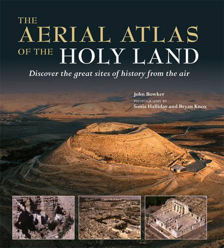
The Aerial Atlas of the Holy Land by John Bowker
The ancient lands of Galilee, Samaria, and Judea stand at a crossroads in western and eastern history. This work offers the reader a series of aerial portraits and fascinating maps of 25 key sites dating from Biblical times to the Muslim Conquest, together with the landscape and sites that surround them.
John Bowker is a professor of religious studies who has taught at the universities of Cambridge, Lancaster, Pennsylvania and North Carolina. He is an Honorary Canon of Canterbury Cathedral, a consultant for UNESCO, as well as a BBC broadcaster and author and editor of several books. Bowker has written and edited many books on world religions. He has also taken a deep interest in science and religion. His books include World Religions (Dorling Kindersley, 2006), God: A Brief History (Dorling Kindersley, 2004), The Cambridge Illustrated History of Religion (Cambridge University Press, 2002) The Oxford Dictionary of World Religions (Oxford University Press, 1997, and What Muslims Believe (Oneworld Publications, 1995). Sonia Halliday has been taking photographs around the world for 40 years. Her specialism is aerial photography. Location: Buckinghamshire Brian Knox Location: Devon
| SKU | Unavailable |
| ISBN 13 | 9781845333409 |
| ISBN 10 | 1845333403 |
| Title | The Aerial Atlas of the Holy Land |
| Author | John Bowker |
| Condition | Unavailable |
| Binding Type | Hardback |
| Publisher | Octopus Publishing Group |
| Year published | 2008-10-15 |
| Number of pages | 256 |
| Cover note | Book picture is for illustrative purposes only, actual binding, cover or edition may vary. |
| Note | Unavailable |