

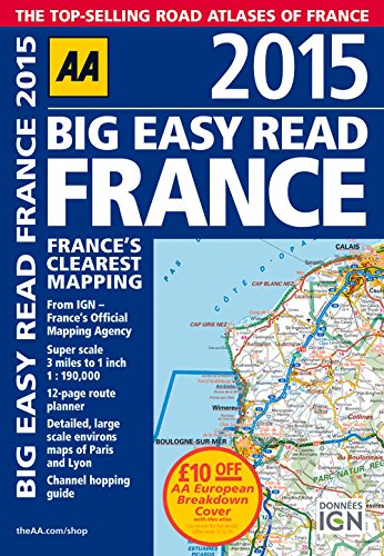
Big Easy Read France 2015 by Aa Publishing
Fully revised and updated for 2015, this specialist easy-to-read, A3 road atlas designed for the British motorist in France includes 44 city, town and port plans central Paris city plan and district maps of Paris and Lyon. Coverage includes road mapping for Corsica plus there is a channel hopping guide, channel tunnel terminal and channel tunnel port plans. Features include: 12-page route planner; detailed, large scale environs maps of Paris and Lyon; channel hopping guide; over 18,500 tourist sites shown on the mapping plus French place names used to match local road signs.| SKU | Unavailable |
| ISBN 13 | 9780749576653 |
| ISBN 10 | 0749576650 |
| Title | Big Easy Read France 2015 |
| Author | Aa Publishing |
| Condition | Unavailable |
| Binding Type | Spiral bound |
| Publisher | AA Publishing |
| Year published | 2014-12-15 |
| Number of pages | 272 |
| Cover note | Book picture is for illustrative purposes only, actual binding, cover or edition may vary. |
| Note | Unavailable |