

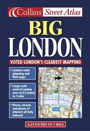
Big London Street Atlas by Bartholomew
1:15,000 4.2 inches to 1 mile Central London at 8.4 inches to 1 mile (1:15000) This atlas is ideal for the driver in central london. The large scale and high level of detail make it an essential purchase. MAIN FEATURES • Large scale full colour mapping • Extensive area of coverage • Extra large scale central London section • Large format • Includes London & M25 route planning maps INCLUDES • Index to places of interest • Full index to street names • CIear colour-coded roads and buildings AREA OF COVERAGE Extends from Heathrow in the west to Barking in the east, and from Edmonton in the north to Beckenham in the south. WHO THE PRODUCT IS AIMED AT Especially useful for businesses and drivers. OTHER PRODUCTS IN THE SERIES Collins publish a wide range of London mapping in a variety of scales and formats.| SKU | Unavailable |
| ISBN 13 | 9780004488349 |
| ISBN 10 | 0004488342 |
| Title | Big London Street Atlas |
| Author | Bartholomew |
| Condition | Unavailable |
| Binding Type | Paperback |
| Publisher | HarperCollins Publishers |
| Year published | 1999-06-07 |
| Number of pages | 104 |
| Cover note | Book picture is for illustrative purposes only, actual binding, cover or edition may vary. |
| Note | Unavailable |