


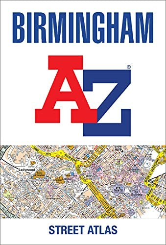
Birmingham A-Z Street Atlas by A-Z Maps
Navigate your way around Birmingham with this detailed and easy-to-use A-Z Street Atlas. Printed in full-colour, paperback format, this atlas contains 164 pages of continuous street mapping. Coverage extends to include: Aldridge, Brownhills, Castle Bromwich, Dorridge, Great Wyrley, Halesowen, Knowle, Longbridge, Oldbury, Smethwick, Sutton Coldfield, Wednesfield, Wombourne. There are large scale city centre maps of Birmingham and Wolverhampton and a West Midlands rail and Midland Metro transport connections map. Postcode districts and one-way streets are featured on the mapping. The index section lists streets; selected flats, walkways and places of interest; place and area names; National Rail and Midland Metro stations; hospitals, NHS Walk-in Centres and hospices.Britain’s leading street map publisher providing cartographic services, digital data products and paper mapping publications (including Street Atlases, Visitors Guides, Great Britain Road Atlases and The Adventure Atlas).
| SKU | Unavailable |
| ISBN 13 | 9780008496371 |
| ISBN 10 | 0008496374 |
| Title | Birmingham A-Z Street Atlas |
| Author | A-Z Maps |
| Condition | Unavailable |
| Binding Type | Paperback |
| Publisher | HarperCollins Publishers |
| Year published | 2022-04-14 |
| Number of pages | 296 |
| Cover note | Book picture is for illustrative purposes only, actual binding, cover or edition may vary. |
| Note | Unavailable |