


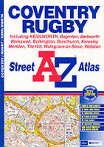
A-Z Coventry Street Atlas by Geographers' A-Z Map Company
This atlas contains 33 pages of coloured street mapping extending from the centres of Coventry and Rugby to cover an area which includes Bedworth, Barnacle, Walsgrave on Sowe, Bretford, Long Lawford, Clifton Upon Dunsmore, Hillmorton, Dunchurch, Thurlaston, Wolston, Baginton, Gibbet Hill, Burton Green, Berkswell, Meriden and Corley. Also included is Kenilworth, an inset of Bulkington and a large scale Coventry City Centre map. The index section of the atlas lists streets, selected flats, walkways and subsidiary names, place and area names and selected places of interest.| SKU | Unavailable |
| ISBN 13 | |
| ISBN 10 | |
| Title | A-Z Coventry Street Atlas |
| Author | Geographers' A-Z Map Company |
| Series | |
| Condition | Unavailable |
| Binding Type | |
| Publisher | |
| Year published | |
| Number of pages | |
| Cover note | Book picture is for illustrative purposes only, actual binding, cover or edition may vary. |
| Note | Unavailable |
View All Editions
Filter
Applied Filters (0)
Sort by:
Loading editions...